 EN
 Romana
6295.png "CHCNAV") CHCNAV i85 RENTAL
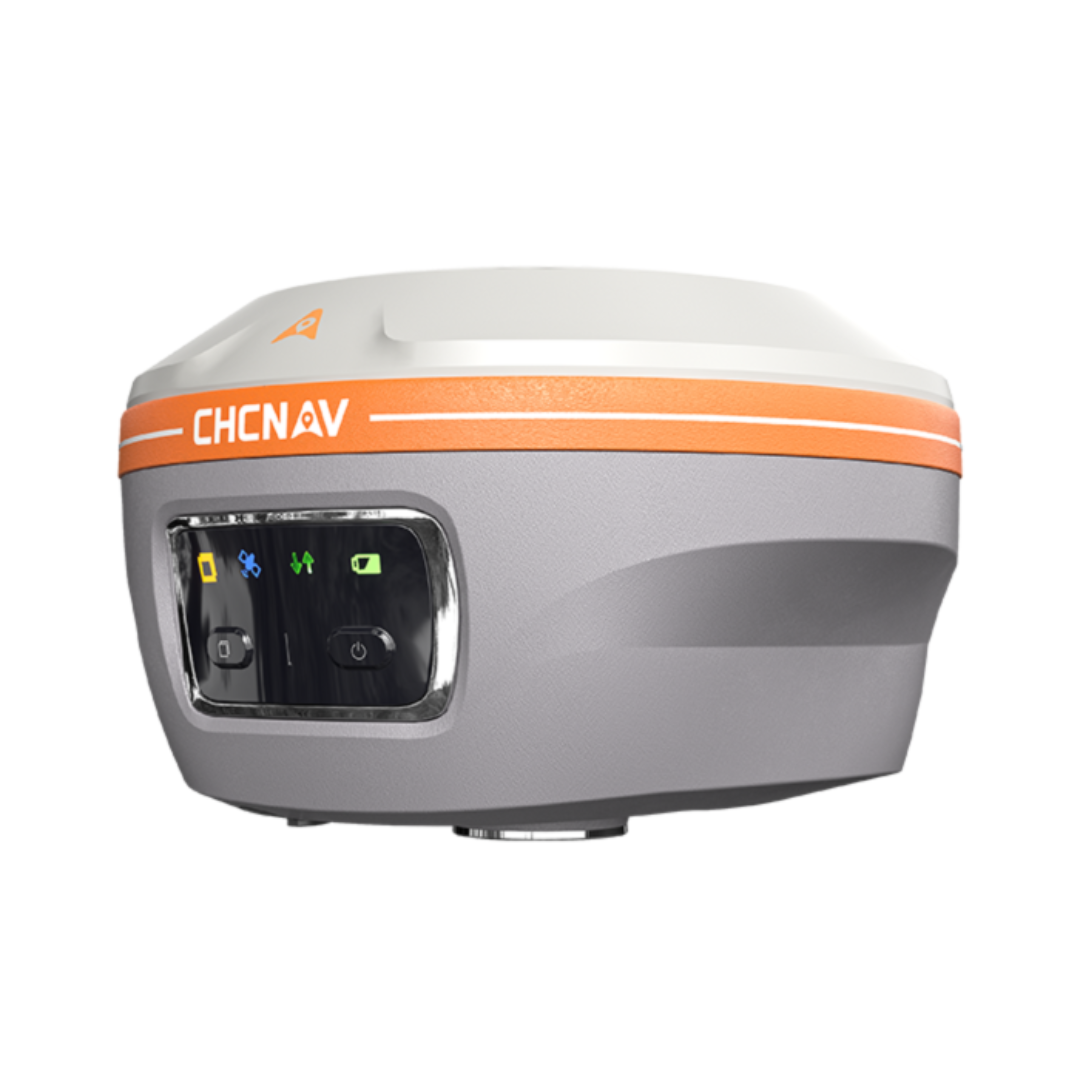
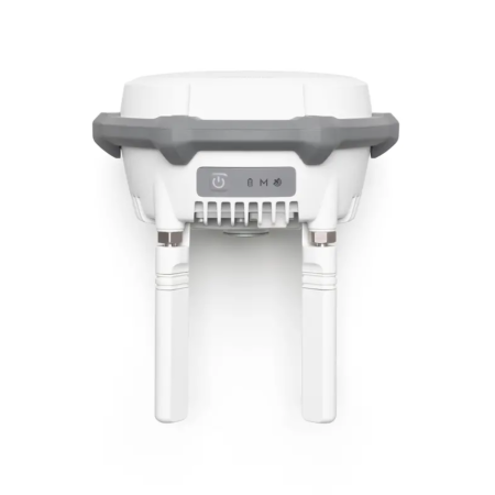
CHCNAV i85 is an IMU-RTK GNSS receiver with an integrated laser rangefinder, powered by CHCNAV’s multi-constellation, multi-frequency GNSS chipset and iStar2.0 technology. It delivers reliable centimeter-level accuracy, including in built-up or obstructed environments.
The advanced IMU further improves heading accuracy, while the combination of GNSS positioning and laser measurement enables fast and safe capture of inaccessible points.
Ediție:
Product Code:
C485
Do you need help?
0770531656
- Description
- Reviews (0)
| Specifications | |
|---|---|
| Positioning | |
| GNSS Module | 1892 channels, full GNSS: GPS, GLONASS, Galileo, QZSS, NavIC/IRNSS, and BeiDou (StellaX chip) |
| Maximum Precision (RTK) | 0.8 cm horizontal / 1.5 cm vertical |
| PointSky Service (satellite-delivered) | 2.5 cm horizontal / 5 cm vertical; 5 cm in 3 – 10 minutes; one year of service included |
| IMU | 200 Hz, automatic tilt compensation with no manual initialization; 3 cm accuracy within a 60° tilt range |
| Fix Reliability | 96% in low-latitude regions affected by solar activity (iStar algorithm) |
| Sensors | |
| Laser Rangefinder | Class 3R green laser, measuring range up to 150 m (under favorable conditions: nighttime, high-reflectivity targets) |
| Laser Surveying Accuracy | 3 cm at 5 m / 5 cm at 10 m (typical field applications) |
| Cameras | Dual; 8 MP front-facing camera with adaptive 6× zoom, for smart aiming and AR navigation/stakeout |
| Connectivity | |
| Wireless | Bluetooth, Wi-Fi, NFC |
| Radio Modem | 410 – 470 MHz, Rx/Tx |
| DistLink | Supported |
| Physical | |
| Weight | 0.800 kg |
| Size | 134 × 86 mm |
| Battery Life | Up to 20 hours (RTK rover) |
| Environmental | |
| Operating Temperature | -40 °C to +65 °C |
| Protection Rating | IP68 |
| Drop Resistance | 2 m pole drop |
| Applications | |
| Use Cases | Topographic survey, mining survey, utility mapping, forestry survey |

If you want to express your opinion about this product you can add a review.
write a review
Similar products