 EN
 Romana
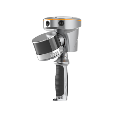
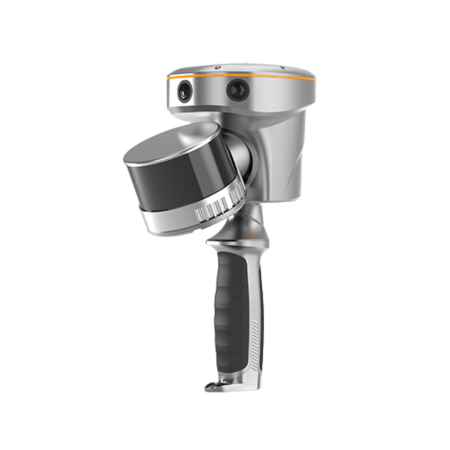
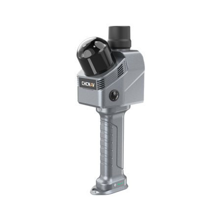
 SHARE SLAM S20 HANDHELD LIDAR SCANNER
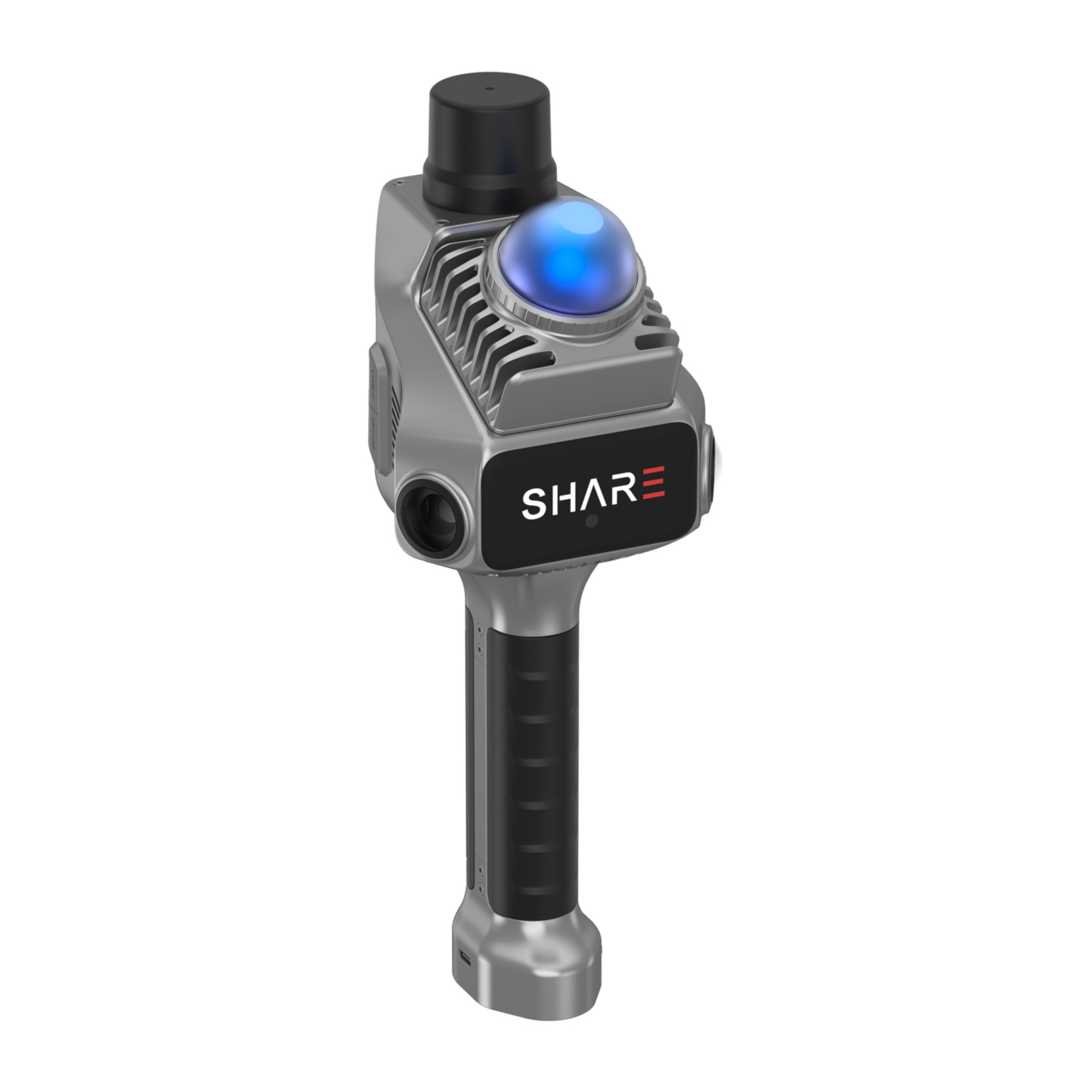
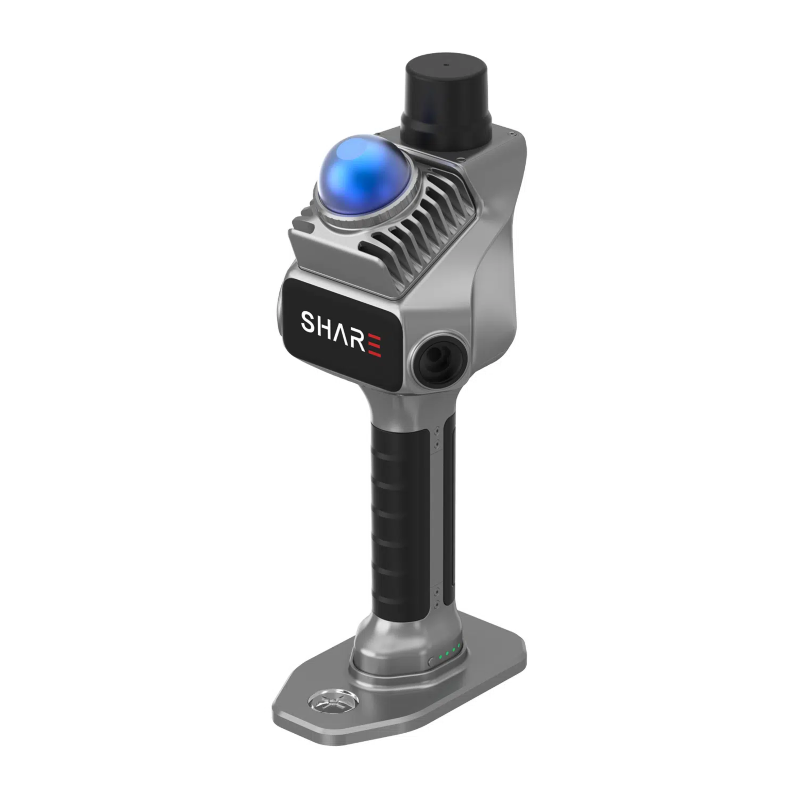
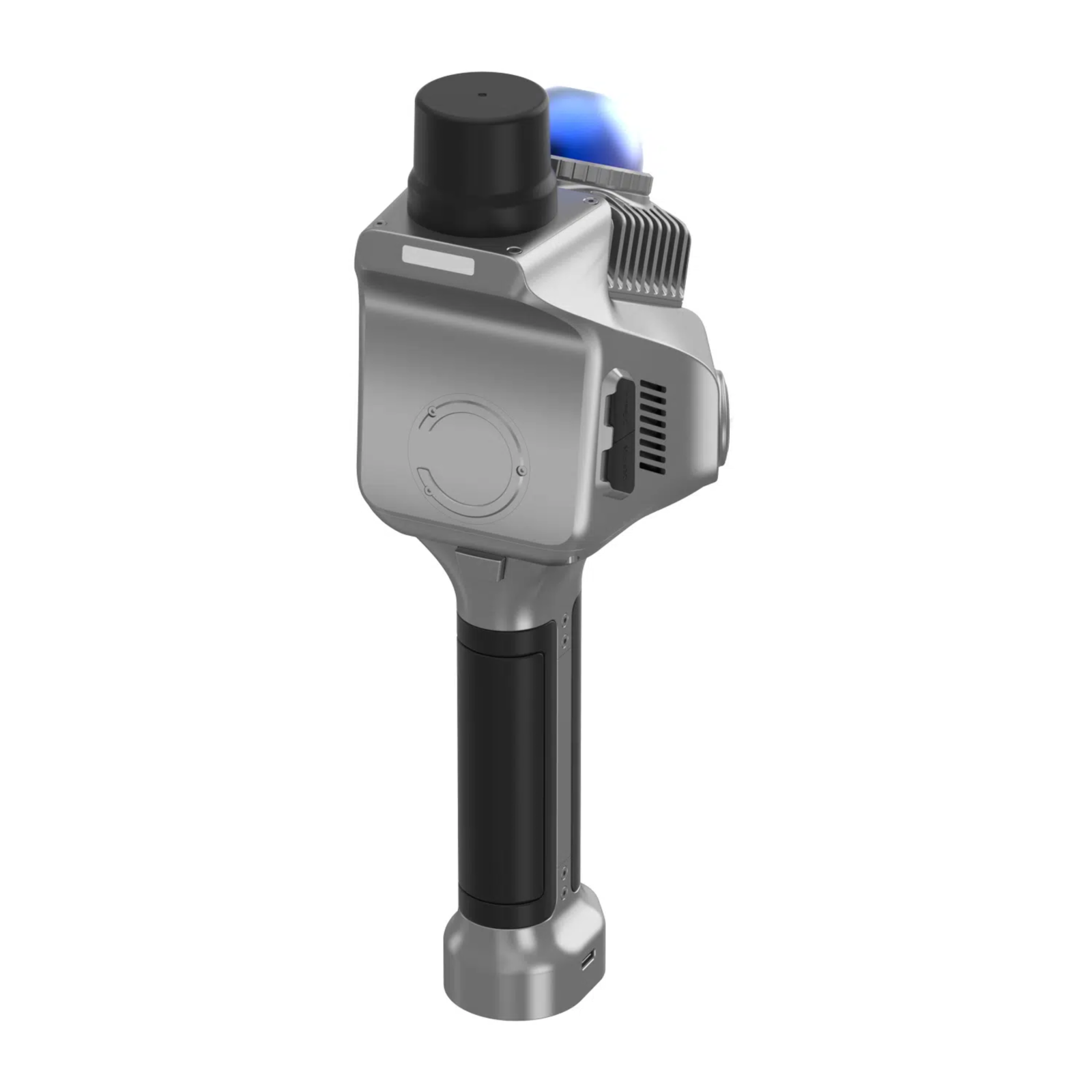
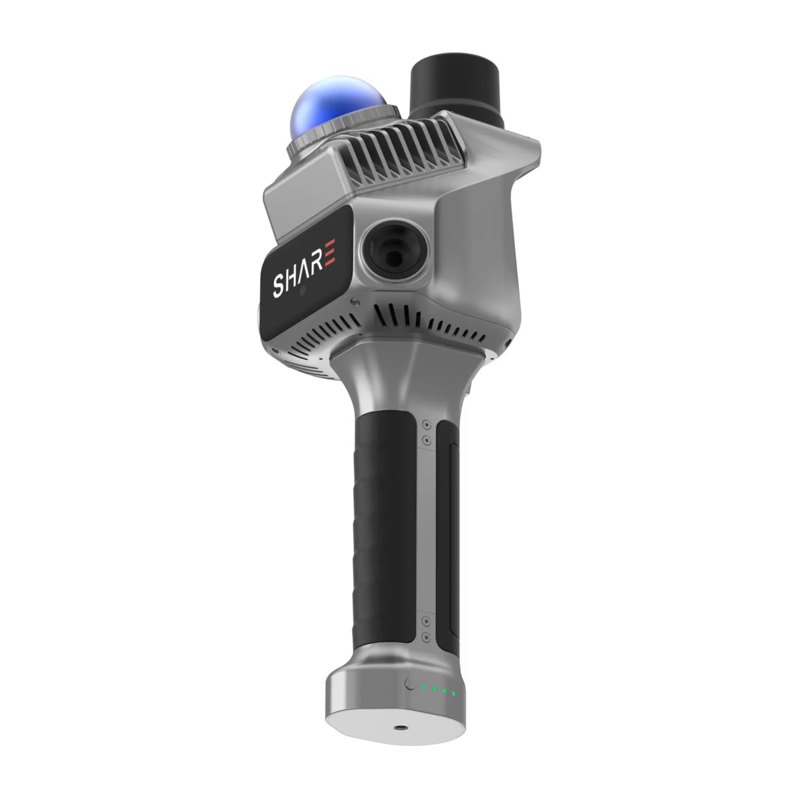
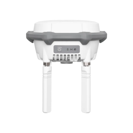
The SHARE SLAM S20 is a portable 3D LiDAR scanner designed for high-precision geospatial data collection and processing. The system combines LiDAR SLAM and Visual SLAM technologies with a large-format camera and a mechanical shutter, providing accurately colored point clouds and data suitable for surveying, mapping, 3D modeling, and BIM/CAD workflows.
Product Code:
C122
Do you need help?
0770531656
- Description
- Video (2)
- Reviews (0)
| Specifications | |
|---|---|
| Key Features | |
| Professional Mechanical Shutter | Enables global exposure without rolling shutter (jello) effect, contributing to more accurate point cloud coloring. |
| Accurate Colored Point Cloud | Microsecond-level hardware synchronization contributes to precise integration of color and intensity point clouds. |
| Proprietary SHARE Algorithms | Uses LiDAR SLAM and Visual SLAM algorithms for improved point cloud density and performance in complex scenarios. |
| Open Hardware Interfaces | Supports cross-platform collaboration and enables device communication, data transfer, and operational control through an open SDK. |
| Mesh Model Support | Raw data can be accessed for processing with proprietary SLAM algorithms, while photographs can be used to generate Mesh models. |
| Post-Processing Workflows | Point clouds can be integrated into BIM/CAD workflows for mapping and modeling. |
| 3D Gaussian Splatting Support | The 1-inch large-format camera, together with image positioning metadata, enables photographs to be used for generating 3DGS models. |
| Software | |
| SHARE Capture | Software for field data collection, compatible with iOS and Android. |
| iOS | https://apps.apple.com/cn/app/sharecapture/id6745205437 |
| Android (APK) | https://server.shareuav.cn/api/share-admin/openapi/product/latest?source=3 |
| SHARE Point Cloud Studio | Software for processing collected field data, compatible with Windows. |
| Windows | https://server.shareuav.cn/api/share-admin/openapi/product/latest?source=7 |
| User Manual | |
| SHARE S20 Romanian User Manual | https://heyzine.com/download/72a217d892.html |
| Applications and Uses | |
| Surveying and Mapping | Yes |
| 3D Modeling | Yes |
| Photogrammetry | Yes |
| BIM/CAD | Yes |
| Mesh Model Generation | Yes |
| 3D Gaussian Splatting | Yes |
| Point Cloud Collection and Processing | Yes |
| LiDAR and Visual Data Integration | Yes |
| Package Contents | |
| Package Contents | 1 × SHARE SLAM S20 – 3D LiDAR Scanner |
If you want to express your opinion about this product you can add a review.
write a review
Similar products