 EN
 Romana
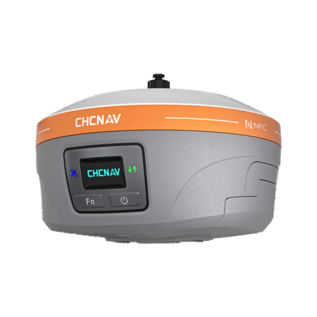
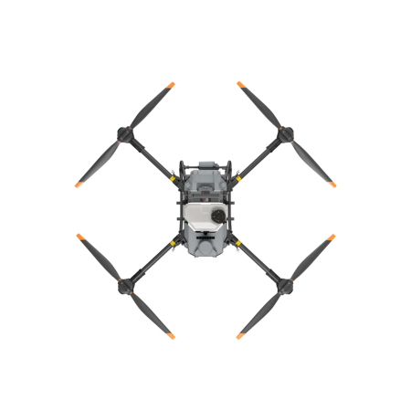
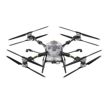
 D-RTK 3 AG GNSS STATION FOR DJI AGRAS T100
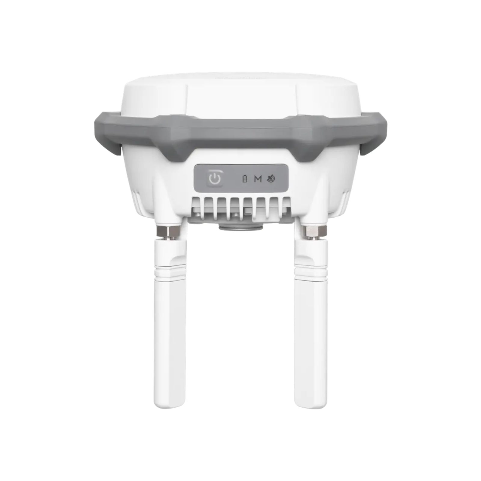
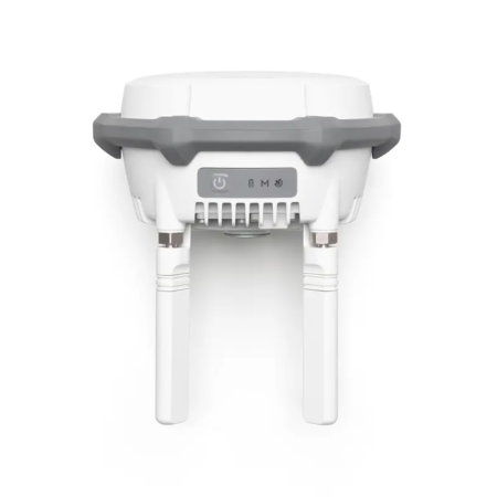
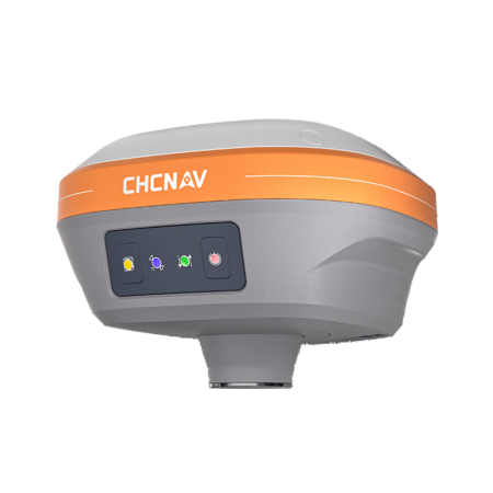
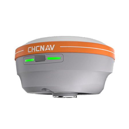
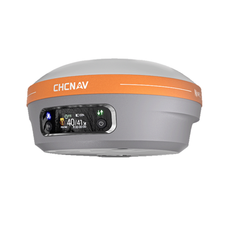
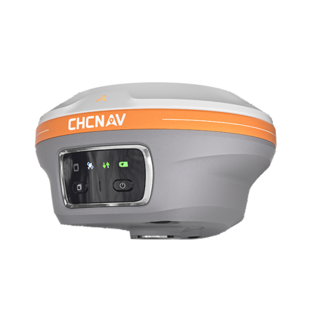
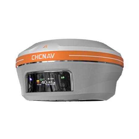
The DJI D-RTK 3 is a high-precision multifunctional GNSS station, equipped with antennas and receiver modules capable of tracking the major global satellite navigation systems. It can operate in Base Station, Relay Station and Rover Station modes, offering high-precision positioning and multiple data transmission options.
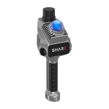
In Base Station mode, it can provide positioning data for multiple aircraft, and in Relay Station mode it can extend the operating range of drones. Rover Station mode delivers high-precision RTK measurements for surveying applications.
Product Code:
C52
Do you need help?
0770531656
- Description
- Video (1)
- Reviews (0)
| Specifications | |
|---|---|
| Supported Satellite Systems | GPS: L1/L2/L5 BeiDou: B1I/B2I/B3I/B1C/B2A/B2B Galileo: E1/E5a/E5b/E6 GLONASS: G1/G2 QZSS: L1CA/L2C/L5 L-BAND |
| Dimensions | 345 × 244 × 300 mm |
| Weight | 3.77 kg (including packaging) |
| Power Consumption | 7 W |
| Battery Capacity | 6500 mAh |
| Operating Time | 7 hours |
| Operating Frequency | Broadcast mode: O4, 2.4 GHz / 5.8 GHz Relay mode: not supported |
| Effective Signal Range | FCC: 15 km SRRC: 12 km CE/JP: 8 km |
| Charging Time | 2.5 hours (30 W charging) |
| Ingress Protection Rating | IP67 |
| Satellite-Based PPP Accuracy | Convergence time: 20 minutes Horizontal: 30 cm (RMS) Vertical: 40 cm (RMS) |
| Network RTK Calibration | Horizontal: 0.8 cm + 1 ppm (RMS) Vertical: 1.5 cm + 1 ppm (RMS) 1 ppm = accuracy decreases by 1 mm for every 1 km of distance from the base station (e.g. at 1 km, accuracy is 1.1 cm). |
| Compatible Drones | DJI Agras T100 (per official T100 and T70P pages) |

If you want to express your opinion about this product you can add a review.
write a review
Similar products