 EN
 Romana
 LiDAR360
LiDAR360 is desktop point cloud processing and analysis software from GreenValley International. It is modular, with a core Framework for managing, registering, classifying and measuring point clouds, and optional modules for terrain, forestry, mining, 3D buildings and more. It can be purchased as the full edition (Professional Perpetual) or as the Framework with modules chosen separately, depending on the application.
Ediție:
Product Code:
L360-01
Do you need help?
0770531656
- Description
- Reviews (0)
| Specifications | |
|---|---|
| General | |
| Manufacturer | GreenValley International |
| Product Type | Desktop software licence for LiDAR point cloud processing and analysis |
| Available Editions | Professional Perpetual (full edition); Framework with optional modules |
| Framework (core module) | |
| Core Functions | Point cloud management, registration, strip alignment, classification, measurement, format conversion and quality inspection |
| Ground Classification | Progressive filtering, CSF filtering and deep learning (the vendor reports over 94% accuracy for the deep-learning method) |
| Model Builder | More than 200 tools that can be combined into reusable workflows |
| Optional Modules | |
| Industry Modules | Terrain, ALS Forestry, TLS Forestry, Mine, 3D Building, Photo, Spectrum and Distributed Computing |
| Terrain | Breaklines, area flattening and smoothing, sections exportable to LandXML/J-LandXML and PDF |
| Volumes | Stockpile volume, cut and fill, surface area and weight (from an entered density) |
| Data and Formats | |
| Point Cloud Formats | LAS, LAZ, E57, PLY, PCD, CSV, XYZ |
| Other Data Types | Raster, vector and model data |
| Results Export | To GIS, CAD and engineering software |

If you want to express your opinion about this product you can add a review.
write a review
Similar products
C40
2.569,15 EUR
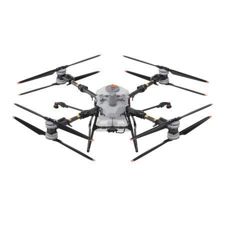
DJI AGRAS T100 SPRAYING SYSTEM WITH AIR-COOLED HEAT SINK
Compatibility:
DJI Agras T100