 EN
 Romana
6295.png "CHCNAV") CHCNAV RS10 (16-CHANNEL)
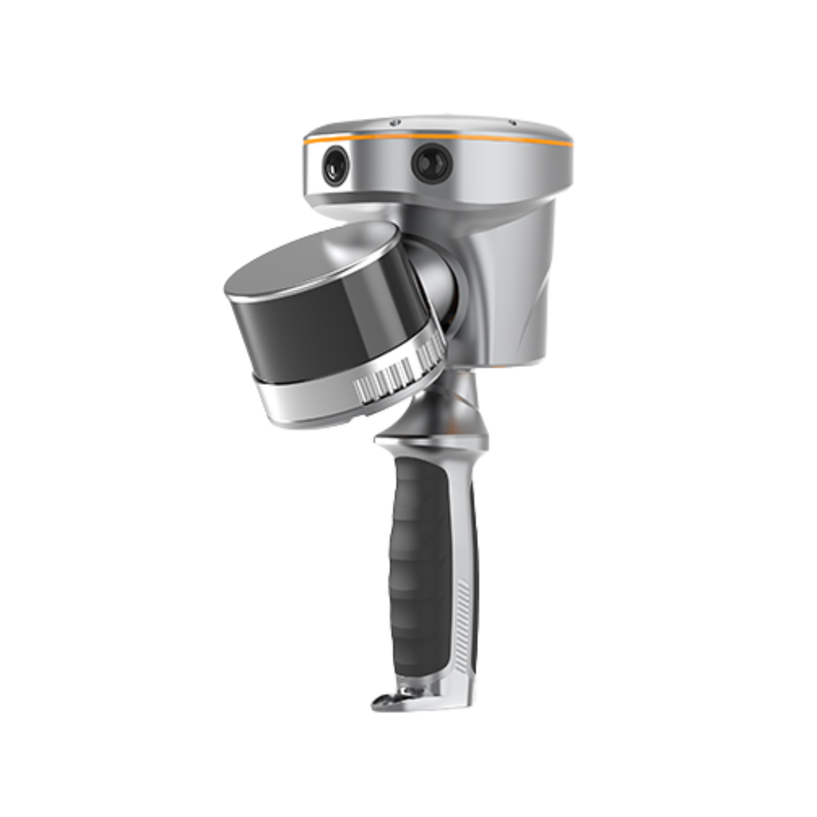
CHCNAV RS10 integrates GNSS RTK, LiDAR laser scanning, and Visual SLAM technologies into a single portable platform designed for 3D scanning and surveying applications both indoors and outdoors.
By combining a high-precision LiDAR system with three HD cameras, the RS10 provides absolute accuracy of up to 5 cm and relative accuracy of up to 1 cm. The solution is designed for surveying, BIM, forestry, power line inspection, underground mapping, and other geospatial applications.
Product Code:
C176
Do you need help?
0770531656
- Description
- Video (2)
- Reviews (0)
| Specifications | |
|---|---|
| RTK and SLAM Fusion for Improved Accuracy | Combines GNSS RTK, laser technology, and Visual SLAM for fast and precise measurements; fourth-generation GNSS antenna technology enables RTK accuracy below 3 cm |
| Real-Time SLAM Capabilities | Real-time generation of georeferenced point clouds directly in the field and mapping of up to 13,000 m² in real time |
| Efficient Loop-Free Workflow | High-precision GNSS and SLAM fusion eliminates the need for loop closure, allowing free route planning and faster, more efficient data collection |
| Indoor and Outdoor Mapping | Allows seamless transition between outdoor and indoor environments in the same coordinate system without additional georeferencing; coordinate system selection directly in the field through SmartGo or LandStar |
| Quick-Replace Battery | Approximately 60 minutes of operation per battery with hot-swappable replacement for uninterrupted operation |
| Key Benefits | |
| Technology | GNSS RTK + LiDAR + Visual SLAM |
| Absolute accuracy | Up to 5 cm |
| Relative accuracy | Up to 1 cm |
| Real-time mapping | Up to 13,000 m² |
| Data generation | Georeferenced point clouds directly in the field |
| Workflow | Loop-free workflow |
| Usage | Indoor and outdoor |
| LiDAR channels | 16 or 32 |
| Scanning range | 120 or 300 m |
| Scanning rate | Up to 640,000 pulses/sec |
| Camera system | 3 HD cameras |
| Battery | Hot-swappable |
| Compatible software | SmartGo and LandStar |
| Applications | |
| Application | Surveying and cadastral mapping |
| Application | BIM |
| Application | Forestry |
| Application | Power line inspection |
| Application | Underground mapping |
| Application | Architectural surveying |
| Application | Facade scanning |
| Application | Measurements in industrial areas |
| Application | Cave scanning |
| Application | Indoor and outdoor mapping |
| Application | 3D point cloud generation |
| CHCNAV RS10 | |
| Type | Handheld SLAM 3D Laser Scanner + GNSS RTK |
| Laser Scanner | |
| Channels | 16 or 32 (optional) |
| Range | 120 or 300 m |
| Scanning rate | 320,000 or 640,000 pulses/sec |
| Field of view | 210° × 170° |
| Returns | Up to 2 |
| Positioning | |
| GNSS | Full GNSS |
| Absolute accuracy | <5 cm H / <5 cm V |
| Relative accuracy | <1 cm |
| Sensors | |
| Camera | 15 MP (3 × 5 MP) |
| Package Contents | |
| Included Product | 1 x CHCNAV RS10 16LINIII – handheld 3D SLAM laser scanner + GNSS RTK |

If you want to express your opinion about this product you can add a review.
write a review
Similar products


C40
2.569,15 EUR
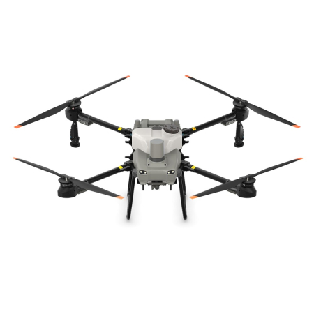
DJI AGRAS T100 SPRAYING SYSTEM WITH AIR-COOLED HEAT SINK
Compatibility:
DJI Agras T100