 EN
 Romana
 DJI TERRA STANDARD TO FLAGSHIP UPGRADE PACKAGE (OFFLINE)
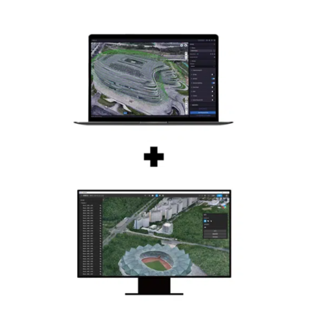
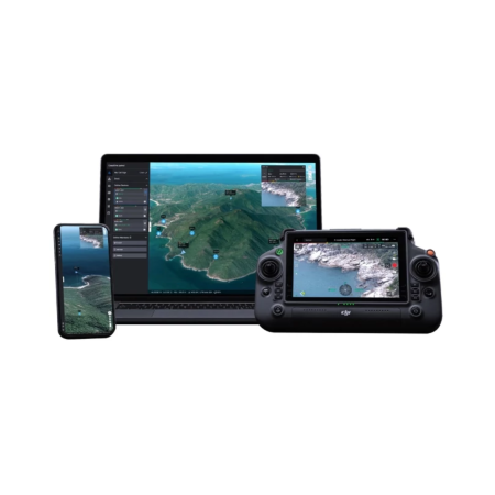
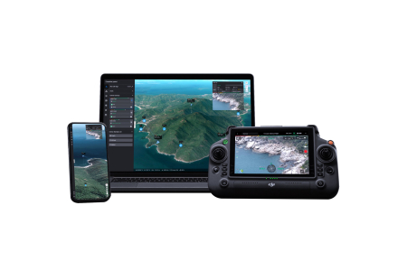
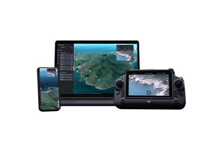
DJI Terra – Standard to Flagship Version Upgrade Package (OFFLINE) is an upgrade solution for users of the DJI Terra Standard version who require access to the advanced capabilities of the Flagship edition with offline authorization. The upgrade extends the software with advanced photogrammetry, 2D/3D reconstruction, LiDAR processing and 3D Gaussian Splatting, providing a professional workflow for surveying, mapping and 3D modeling.
Product Code:
C219
Do you need help?
0770531656
- Description
- Reviews (0)
| Specifications | |
|---|---|
| Key Advantages | |
| Upgrade | Standard → Flagship |
| 3D Gaussian Splatting | Yes |
| Reconstruction | 2D / 3D |
| LiDAR Processing | Yes |
| RTK / PPK | Yes |
| Additional Capabilities | |
| Multispectral Processing | Yes |
| Large-Scale Processing | Yes |
| Photos for Gaussian Splatting Reconstruction | Up to 30,000 photos / task |
| Cluster Processing | Yes |
| Export Formats | PLY / B3DM (3D Tiles) |
| Workflow | |
| Processing Planning | Yes |
| Flight Mission Planning | Yes |
| Data Collection | Yes |
| Mapping | Yes |
| Data Processing | Yes |
| Results Analysis | Yes |
| Geospatial Product Export | Yes |
| Compatibility | |
| Compatible Aircraft and Equipment | Matrice 4E Matrice 400 Matrice 4T Matrice 4TD Zenmuse P1 Zenmuse L2 D-RTK 3 DJI Mavic 3 Multispectral Phantom 4 Multispectral |
| DJI Terra + DJI Modify | |
| Integration | DJI Terra + DJI Modify |
| Point Cloud Smoothing | Yes |
| Noise Reduction | Yes |
| Downsampling | Yes |
| Classification | Yes |
| Terrain Results | GIS/CAD compatible |
| Authorization | |
| Authorization Method | Offline |
| Applications | |
| Surveying and Mapping | Yes |
| Photogrammetry | Yes |
| LiDAR Processing | Yes |
| 3D Modeling | Yes |
| Urban Reconstruction | Yes |
| Infrastructure and Construction | Yes |
| Agriculture and Multispectral Analysis | Yes |
| Inspections | Yes |
| Digital Twin Projects | Yes |
| Emergency Situations and Response | Yes |
| Key Parameters | |
| Product Type | Standard → Flagship Upgrade |
| Licensing | Software Upgrade |
| Authorization Method | Offline |
| Reconstruction | 2D / 3D |
| Technology | 3D Gaussian Splatting |
| LiDAR Processing | Yes |
| RTK / PPK | Yes |
| Export | PLY / B3DM (3D Tiles) |

If you want to express your opinion about this product you can add a review.
write a review
Similar products