 EN
 Romana
 DJI ZENMUSE L2 RENTAL
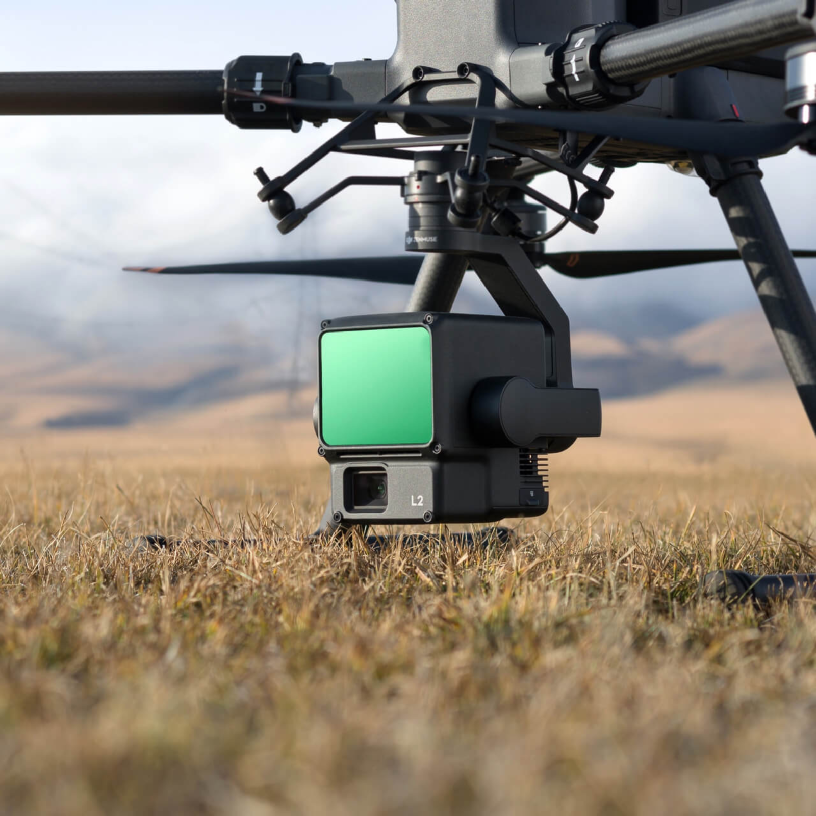
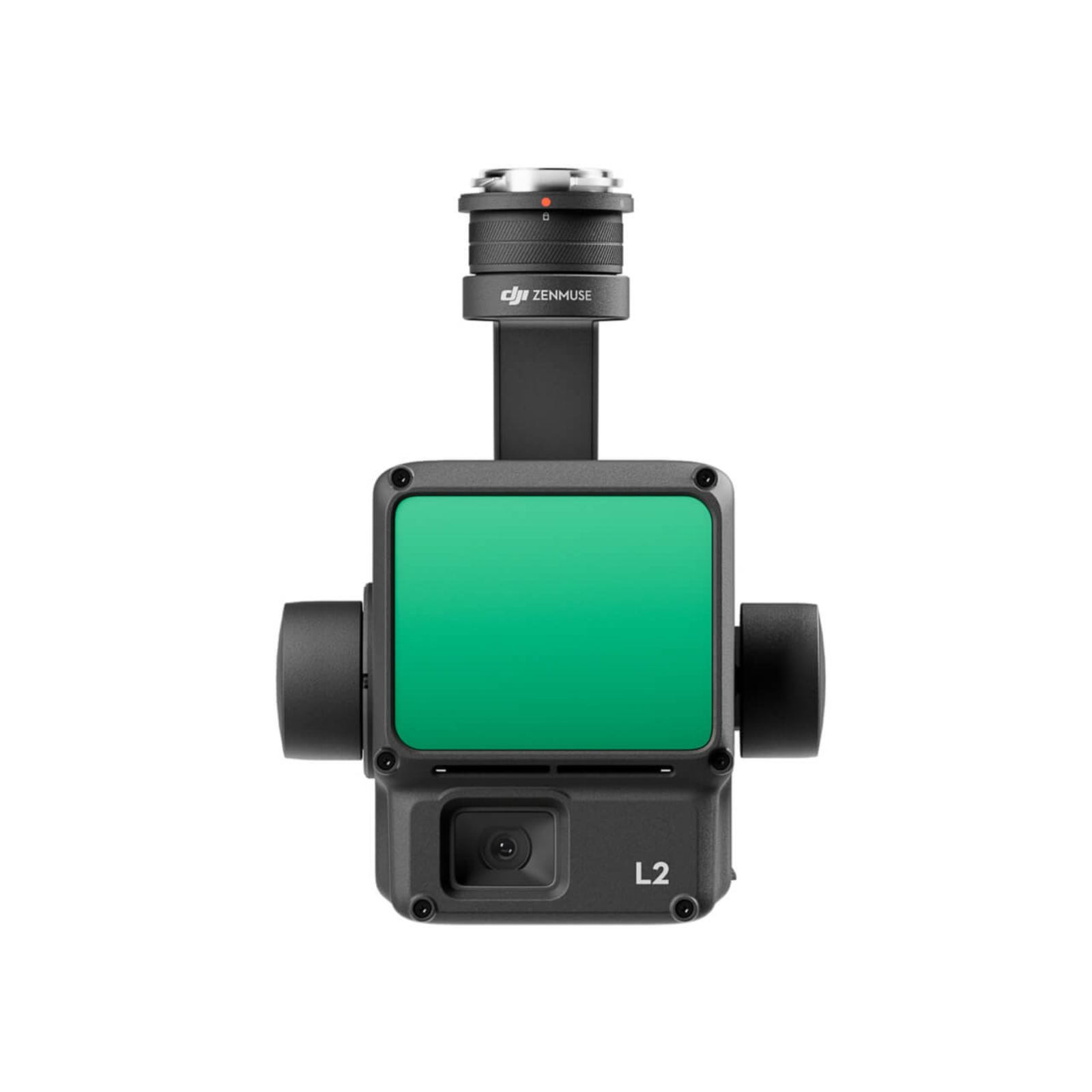
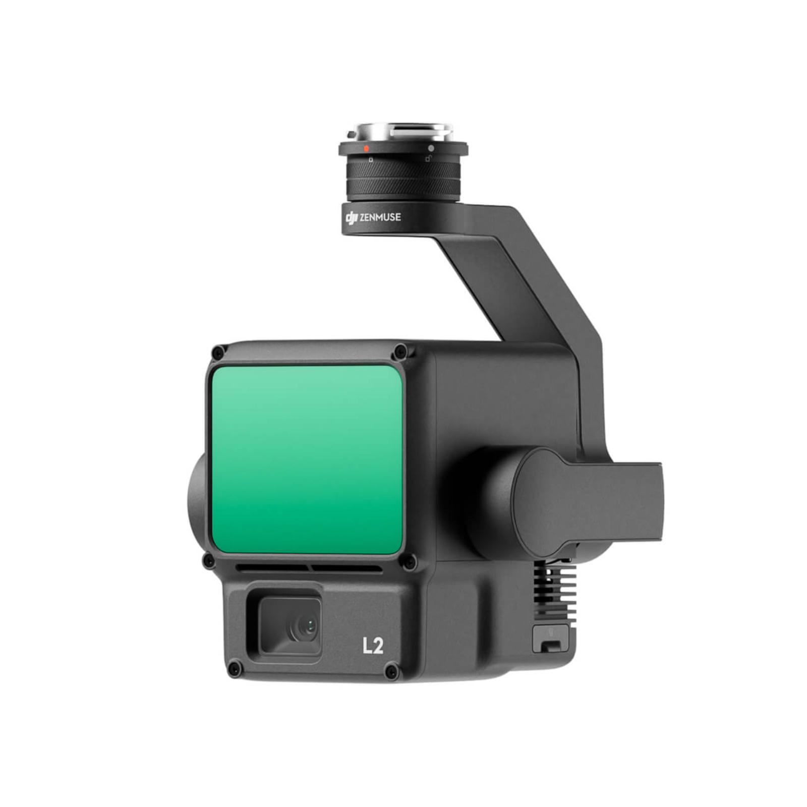
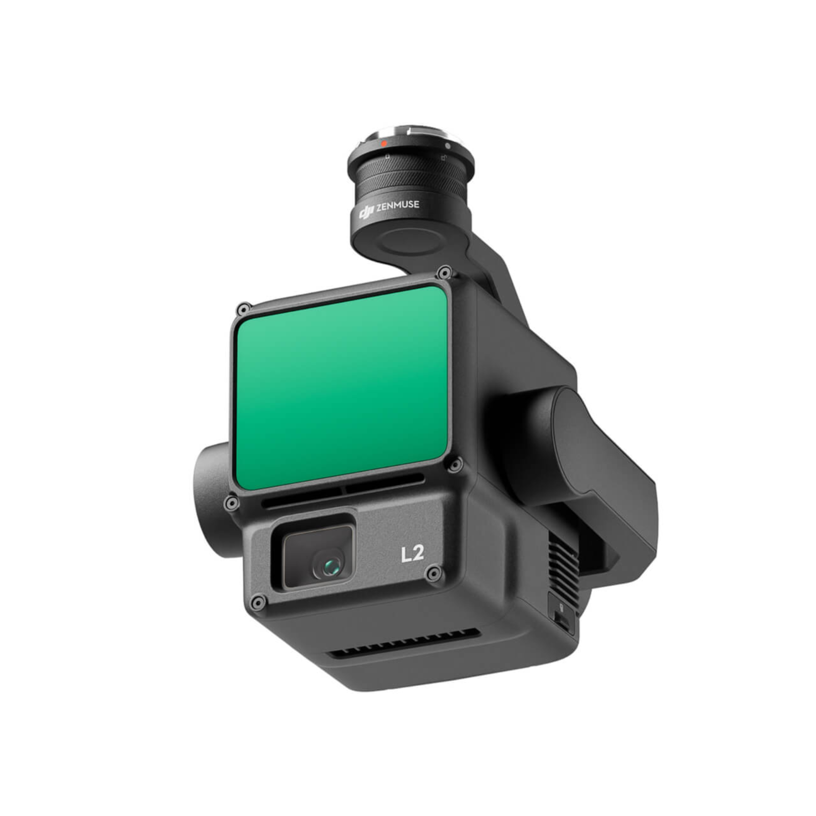
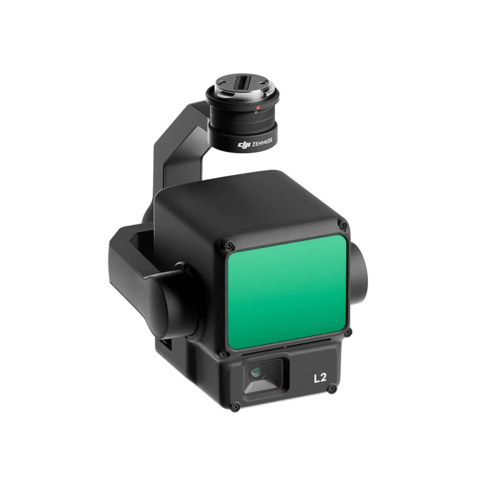
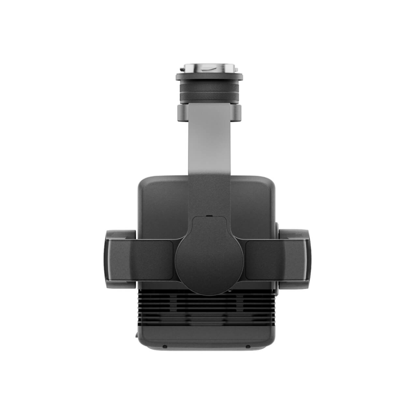
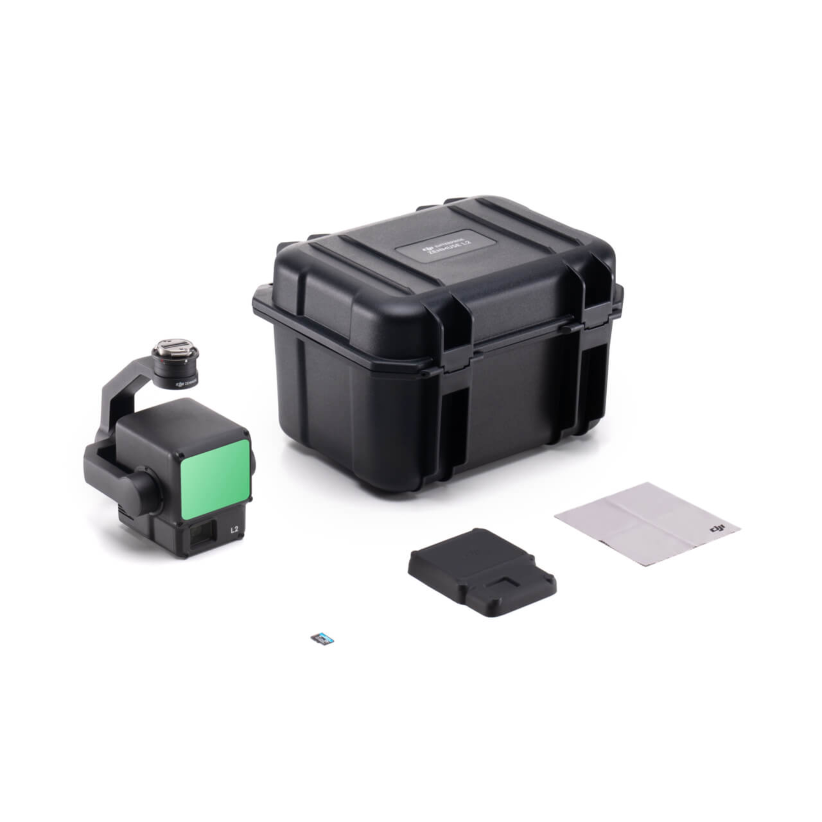
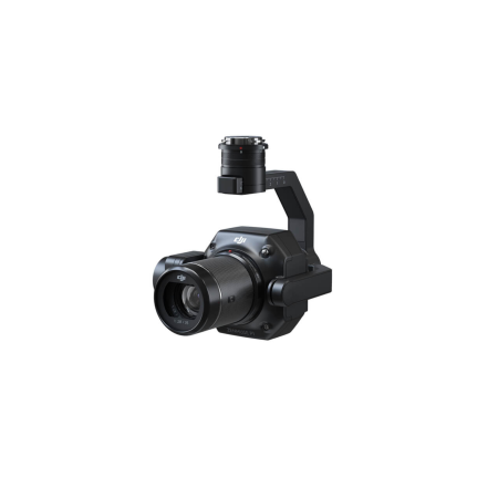
The Zenmuse L2 combines an advanced LiDAR system, a high-precision IMU developed by DJI, and an RGB mapping camera with a 4/3" CMOS sensor. This combination enables DJI flight platforms to achieve more accurate, efficient, and reliable geospatial data acquisition. When used with DJI Terra, the Zenmuse L2 provides a complete solution for 3D data capture and high-precision processing.
Ediție:
Product Code:
C373
Do you need help?
0770531656
- Description
- Reviews (0)
| Specifications | |
|---|---|
| General | |
| Dimensions | 155 × 128 × 176 mm (L × W × H) |
| Weight | 905 ± 5 g |
| Power | 28 W (typical) / 58 W (max) |
| IP Rating | IP54 |
| Operating Temperature | -20 °C to 50 °C |
| Storage Temperature | -20 °C to 60 °C |
| Supported Aircraft | DJI Matrice 400 DJI Matrice 350 RTK DJI Matrice 300 RTK (requires DJI RC Plus) |
| System Performance | |
| Detection Range | 450 m @ 50% reflectivity, 0 klx 250 m @ 10% reflectivity, 100 klx Maximum detection range: 500 m |
| Point Cloud Rate | Single return: max 240,000 pts/s Multiple returns: max 1,200,000 pts/s |
| System Accuracy | Horizontal: 5 cm @ 150 m Vertical: 4 cm @ 150 m Measured in a DJI laboratory on a Matrice 350 RTK, relative altitude 150 m, speed 15 m/s, repetitive scanning with RTK FIX, post-processed in DJI Terra with Optimize Point Cloud Accuracy. Without this option: 4 cm vertical / 8 cm horizontal. |
| Real-Time Point Cloud Coloring | Reflectivity, height, distance, RGB |
| LiDAR | |
| Ranging Accuracy (RMS 1σ) | 2 cm @ 150 m |
| Maximum Returns Supported | 5 |
| Scanning Modes | Non-repetitive scanning pattern, repetitive scanning pattern |
| FOV | Repetitive: 70° horizontal, 3° vertical Non-repetitive: 70° horizontal, 75° vertical |
| Minimum Detection Range | 3 m |
| Laser Beam Divergence | 0.2 mrad horizontal, 0.6 mrad vertical Spot size: 4 cm horizontal, 12 cm vertical @ 100 m |
| Wavelength / Pulse Frequency | 905 nm / 240 kHz |
| Laser Safety | Class 1 (IEC 60825-1:2014) |
| IMU System | |
| Update Frequency | 200 Hz |
| Accelerometer / Gyroscope Range | ±6 g / ±300 dps |
| Positioning Accuracy (RTK FIX) | Horizontal: 1 cm + 1 ppm Vertical: 1.5 cm + 1 ppm |
| RGB Mapping Camera | |
| Sensor | 4/3 CMOS, 20 MP effective pixels |
| Lens | FOV: 84°, 24 mm equivalent Aperture: f/2.8 – f/11 Focus: 1 m – ∞ (autofocus) |
| Shutter Speed | Mechanical: 2 – 1/2000 s Electronic: 2 – 1/8000 s Shutter life: 200,000 actuations |
| Photo Size / ISO | 5280 × 3956 (4:3) / ISO 100 – 6400 (photo and video) |
| Timed Interval | JPEG: 0.7 / 1 / 2 / 3 / 5 / 7 / 10 / 15 / 20 / 30 / 60 s RAW or JPEG + RAW: 2 / 3 / 5 / 7 / 10 / 15 / 20 / 30 / 60 s |
| Video | H.264 / H.265 4K: 3840 × 2160 @ 30 fps (85 Mbps) FHD: 1920 × 1080 @ 30 fps (30 Mbps) |
| Formats | Photo: JPEG / DNG (RAW); video: MP4; file system: exFAT |
| Gimbal | |
| Stabilization / Mounting | 3-axis (tilt, roll, pan), 0.01° angular vibration / detachable DJI SKYPORT |
| Mechanical Range | Tilt: -143° to +43° Pan: ±105° |
| Controllable Range | Tilt: -120° to +30° Pan: ±90° Modes: Follow / Free / Re-center |
| Storage and Post-Processing | |
| Raw Data Stored | Photo, IMU, point cloud, GNSS, calibration files; real-time modeling data storage |
| microSD Card | Sequential write speed min 50 MB/s, UHS-I Speed Grade 3, max capacity 256 GB |
| Supported Software | DJI Terra |
| Export Formats (point cloud) | PNTS / LAS / PLY / PCD / S3MB |

If you want to express your opinion about this product you can add a review.
write a review
Similar products